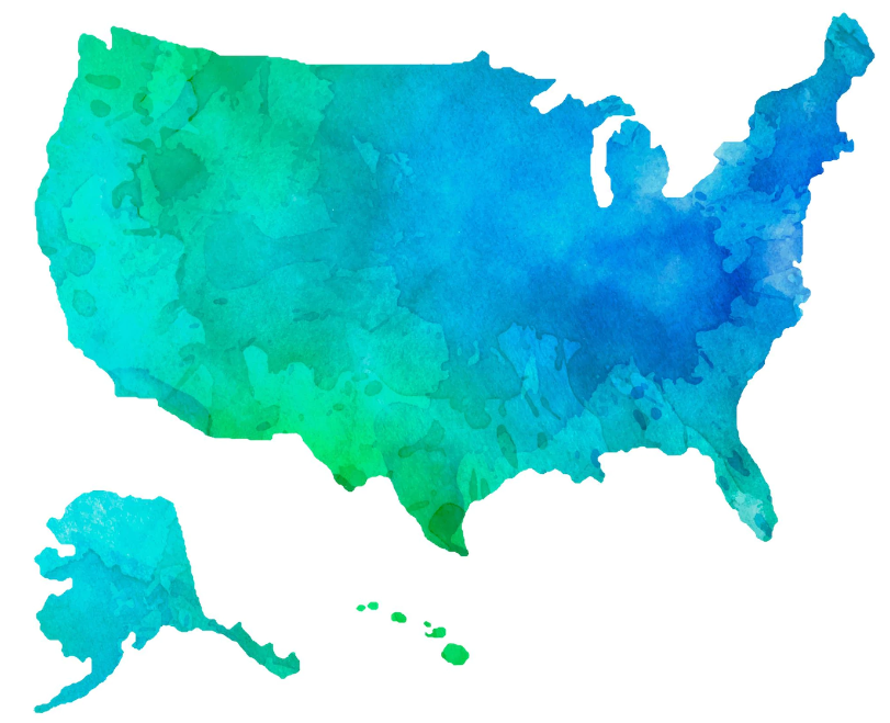
Our website aims to help you know and identify the member states of the United States of America in a simple and quick way.
The United States of America is a federal nation made up of 50 states covering the central part of North America. The continent of the United States is bordered by the Pacific Ocean to the west and the Atlantic Ocean to the east, the country borders Canada to the north and Mexico to the south. The United States has maritime borders with the Bahamas, Cuba, and Russia (in Alaska).
The map of the United States of America helps us to identify the state capitals of each member state, the big cities, but also the interstate highways, railways and airports in the USA.
We need a map of the USA with the member states to act as a reference point for everything that happens in different parts of it. Looking at this map we can see the depth and superficiality of our knowledge about our world.
Using this website, you will find the most useful information about the US map states.

